
3D Laser scanning services & As-Buit Surveys
We rebuild the geometry of elements and infrastructures using 3D laser scanner technology
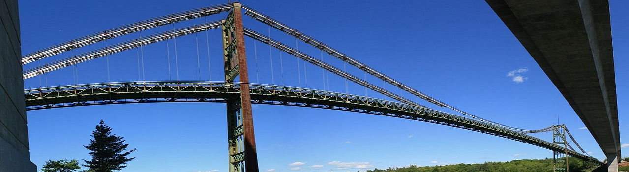
Gallery of point cloud examples
A Point Cloud is a great help to identify existing elements of the site. As an example, if the construction company is not sure where the power lines are and if the crane can fit under them for the lifting of a prefabricated panel, we can provide very detailed plans with the click of a button, pointing out where you are Power pole and power lines, as well as their sizes and heights, which we can then review in our construction modeling software (Autodesk Revit, Graphisoft ArchiCAD, Navisworks, Allplan, Tekla, Solidworks ...) that we are using.
Another great advantage of a point cloud is that any view on the screen the point cloud can always be referenced. This means that, if I am in a plan, elevation, section or 3D view, there will always be a clear detail about what exists in that particular part of the building.
Laser scanning of industrial facilities - Barcelona
Laser scanning of architectural and heritage elements - Spain
3D laser capture of buildings and generation of plans - Barcelona
Scan to BIM complete buildings 3D laser from laser scanning - Spain
3D laser scanning of office buildings for remodeling
Laser scanning of parking plants for retrofits - Barcelona
Laser scanning of buildings for BIM models
Laser scanning for marine retrofits
Stadium laser scanning and modelling
Yacht 3d Laser scanning and modelling
BIM modeling from Laser scanning
Complex facilities laser scanning
3D Laser Scanning of Entire Buildings - Revit Modeling
Scan to BIM - Modelado de reformas de edificios a partir de Escaneo Láser


